Recently, affected by extreme heavy rainfall, Miyun District of Beijing suffered severe flood disasters. The Geological Survey Institute actively responded to the government's call, rapidly mobilized professional forces, and fully participated in post-disaster reconstruction work. With technical support such as geological survey and surveying and mapping, it contributed to restoring production and living order in Miyun District and building a solid safety barrier against disasters.
Rapid Response: Professional Team Rushes to the Front Line
After the disaster occurred, the Institute of Engineering Geological Survey immediately activated its emergency response mechanism, organized expert teams in multiple fields such as survey and surveying and mapping, and rushed to the disaster-affected areas of Miyun with advanced survey equipment to carry out post-disaster reconstruction tasks. It urgently established the "Miyun Post-Disaster Reconstruction Project Commando Team." The commando team is led by Gao Zhenkai, deputy director of the Institute of Engineering Geological Survey (presiding over work), as team leader, and Wu Ruopu as deputy team leader. Based on actual needs, a preliminary work group and an on-site reconnaissance and surveying and mapping work group were also set up. Drawing on the company's long-accumulated experience in survey, surveying and mapping, and geological disaster prevention in Miyun District, the team quickly carried out surveying and investigation of key areas such as damaged roads, mountains, and river channels, providing a scientific basis for subsequent reconstruction work.

Reconnaissance of damaged roads and river channels
Technology Empowerment: Building a Solid Disaster Prevention "Safety Net"

On-site survey of damaged areas
Fulfilling Responsibilities: Demonstrating the Role of a Central State-Owned Enterprise
As a leading domestic geological engineering survey institution, the Geological Survey Institute has always taken social responsibility as its own duty. In this post-disaster reconstruction in Miyun, it has invested more than 20 pieces of professional equipment and more than 80 person-times of technical personnel, efficiently completing multiple key task milestones. In the future, the Institute of Engineering Geological Survey will continue to cooperate with local governments, deepen the long-term mechanism for geological disaster prevention, and safeguard regional safe development.
Emergency Rescue and Disaster Relief | Sunward Rushes Emergency Aid to Yuzhong, Gansu
下一篇Zoomlion Ranks Among Top 100 Listed Companies for Cash Dividends

2026-10-14 0 0
2026-09-28 36 0
2026-09-22 10749 0

2026-09-18 11026 0

Lize City Air Terminal Underground Main Structure Nearing Completion: Maximum Transfer Walk Under 4 Minutes After Operation

Anti-seepage Curtain for Main Lock Pit of CSCEC Port Shenqiu Double-Line Lock Project Completed on Schedule

All Pile Foundations Completed on Quanzhou Baiqi Channel
Hainan Upgrades Housing and Municipal Infrastructure
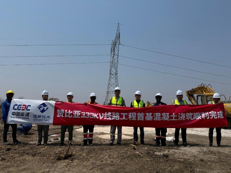
First Foundation Concrete Pour Successfully Completed for Zambia Kafue West–Muzuma 330kV Transmission Line EPC Project
Hot News

评论 (0)